|
|
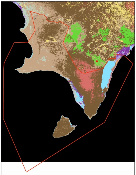
Vegetation Map of Jaragua National Park
|
|
This is a map showing the vegetation present in Jaragua National Park. The Park's boundaries are shown by the red line. Move the pointer of your mouse over the map to discover what kind of vegetation exists there. (Tip: for better results, place the mouse over areas with uniform color). |
|
|
Ultima actualización: 17 Nov 2005 Dirigir preguntas o comentarios sobre esta página a: Yolanda León
|